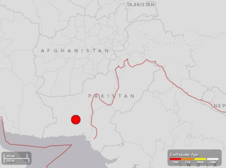
For the third time in a year the ground moved in the United Arab Emirates. Initial reports suggest that the powerful earthquake was a 7.8 magnitude earthquake, striking at a depth of 28 km, affecting parts of Sindh and Balochistan, 145 miles south-east of Dalbandin. The quake, which struck at 4.29pm local time, was only felt for 8-10 seconds and fortunately it affected a fairly remote, sparsely populated area to the northern of Pakistan. For those people living in the region it is a 8-10 hour drive by road from Awaran (the nearest place for aid) to Balochistan, this means that the relief effort will be slow. It has been reported by The Tribune that the roofs of two schools have collapsed.
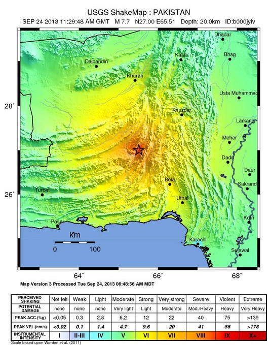
USGS have already created a map of the area and have a tectonic summary of the event which took place and they have also created a shake map of the region which shows the perceived strength and destructive power of the quake. Aftershocks are likely. No loss of life have so far been reported.
USGS have already created a map of the area and have a tectonic summary of the event which took place and they have also created a shake map of the region which shows the perceived strength and destructive power of the quake. Aftershocks are likely. No loss of life have so far been reported.
Find out more from Earthquake-report.com. If the earth moved for you ...you can report this on the 'I felt it' button' and the map updates as crowd-sourcing adds more information.
Y12 Question: Explain why the death toll of some earthquakes can be low, even when the magnitude of the event is high.
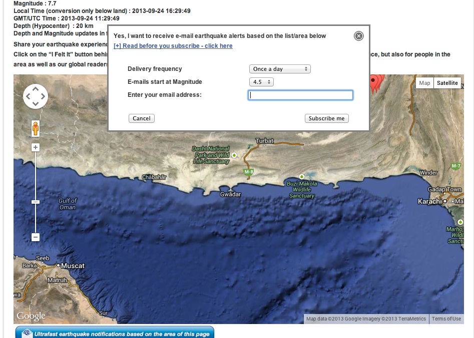
The image below is a screenshot from the 'I felt it' crowdsourced Google map
Y12 Question: Explain why the death toll of some earthquakes can be low, even when the magnitude of the event is high.
The image below is a screenshot from the 'I felt it' crowdsourced Google map
 RSS Feed